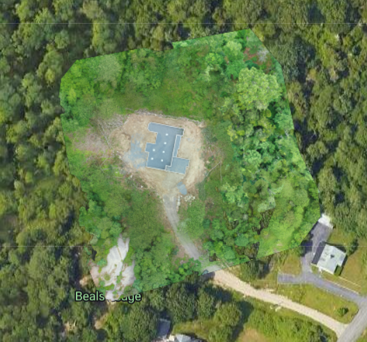
Ortho Map

Elevation Ortho Map
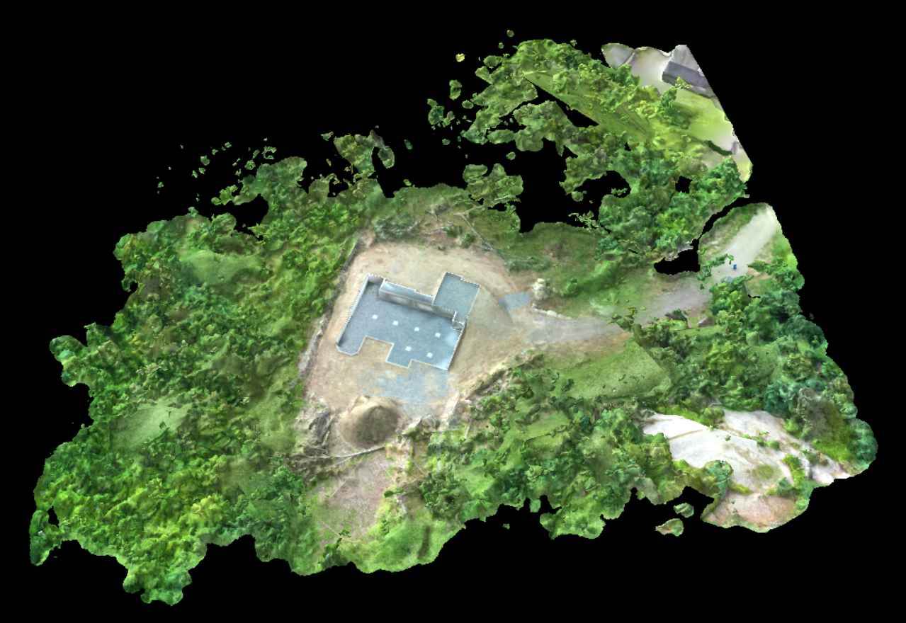
3d Rendering Map
Orthomosaic Mapping
Orthomosaic mapping is a technique used to create high-resolution maps or models of large areas by stitching together multiple aerial photographs or satellite images. The resulting map or model is a georeferenced, scaled, and accurate representation of the area.
Orthomosaic maps offer several benefits, including:
- Accurate measurements: Orthomosaic maps provide accurate measurements of distances, areas, and volumes of the mapped area, making it an essential tool for various applications such as urban planning, agriculture, property development and construction.
- Improved visualization: Orthomosaic maps offer high-resolution images with minimal distortion, allowing for a clear and detailed visual representation of the mapped area.
- Efficient planning: Orthomosaic maps allow for efficient and effective planning of projects and activities in the mapped area, reducing the need for costly and time-consuming ground surveys.
- Enhanced decision-making: Orthomosaic maps provide a comprehensive and detailed view of the mapped area, enabling better decision-making and analysis.
Overall, orthomosaic mapping is a useful tool for various applications that require non-survey grade accurate and detailed maps or models of large areas.